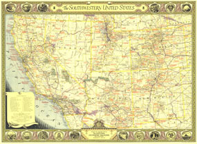
The Southwestern United States map of June 1940 contains an abundance of notes on historical sites and places of interest as well as the routes of explorers and the dates of their expeditions. The map border contains scenic illustrations and the state seals of the southwestern states. A unique collector's map. The 1940 Southwestern United States map features:
• Exploration routes with dates
• Illustrations of the state seals and scenic locations in the map border
• National parks and monuments, Indian reservations, reclamation projects, and battlefields
• State capitals, county seats, and towns of interest
• Highways, railways, canals, and airways
• Notes on historical sites and places of interest
• Mountain ranges, major rivers, and major lakes
Coverage Area: California, Nevada, Utah, Arizona, New Mexico, Colorado
|


 Click here to zoom!
